
")
")
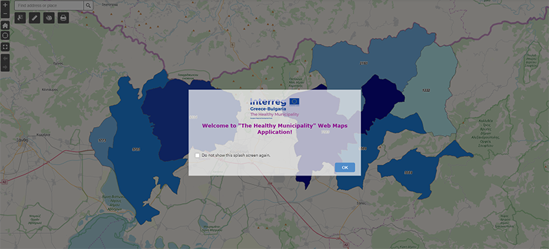
Deliverable 3.1.5 – Designing digital maps on morbidity and health infra structure (Greek/English)
Maps of the partner Areas
The maps are intended to be a policy design tool for Primary Local Government and health care providers in the cross-border area. Therefore, they answer specific questions and quickly and clearly deliver the stored information.
As a base material, the maps use data from ELSTAT and the results of the studies, research and medical examinations of the project in the areas where it is implemented.
The maps are accessible at https://healthymunicipality.com/maps/